Challenge yourself on the third-highest peak of the Aberdare Range—a demanding high-altitude trek through four dramatic ridges, three false summits, and expansive golden moorland to reach the summit at 3,860m above sea level.
Rurimeria Hill earns its name from weeds that once grew at its summit, known in the Maasai language as Olurumueria. This is widely regarded as one of the most exhausting yet rewarding trails in the Aberdare ranges, perfect for hikers training for Mount Kenya or Mount Kilimanjaro expeditions.
The adventure begins at Gathuthi Primary School in the Geta Bush area, where hikers pass through an electric fence separating the residential area from the forest. The trail immediately challenges you with a steep 3.5km ascent through the first ridge—the steepest and hardest section where altitude effects begin to manifest. Within the first 4km, hikers gain approximately 1,000m in elevation, causing a noticeable reduction in oxygen levels that tests both physical endurance and mental fortitude.
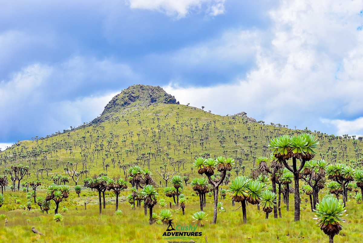
The trail features a series of four distinct ridges, each presenting unique challenges. After conquering the first steep ridge and reaching the first false summit at 3,480m, hikers encounter increasingly cold and windy conditions, even when the sun shines. The second false summit sits at 3,590m, followed by the third false peak. Between these peaks, the terrain transitions through heath and moorland vegetation—expansive golden grasslands dotted with giant lobelias, everlasting flowers, and thick grass concealing bogs and swampy black soil.
The moorland section, while relatively flat, requires careful navigation through water bogs and treacherous terrain. Trail ribbons mark the path, though fog can obscure visibility. From various vantage points, hikers enjoy spectacular views of Mount Kenya to the east, Mount Satima and Kinangop to the north, Table Mountain to the west, and Mount Kipipiri rising prominently from the landscape.
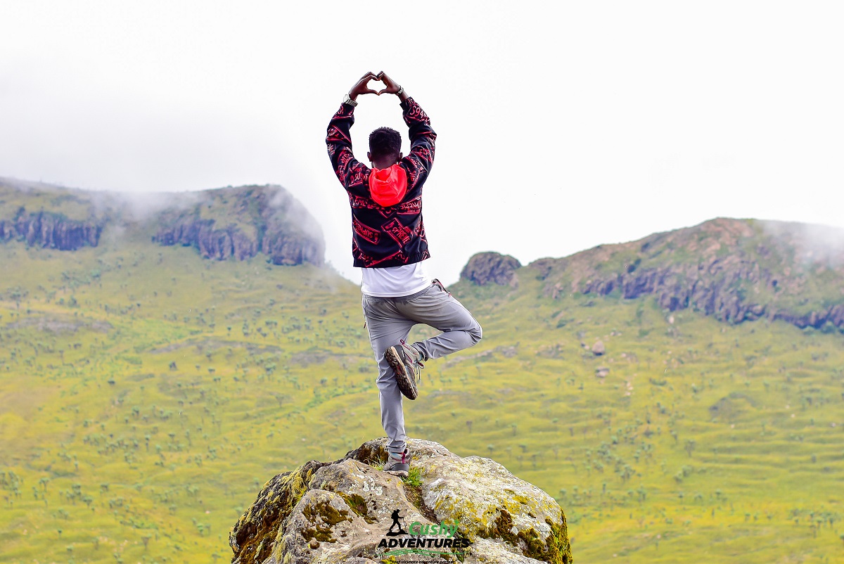
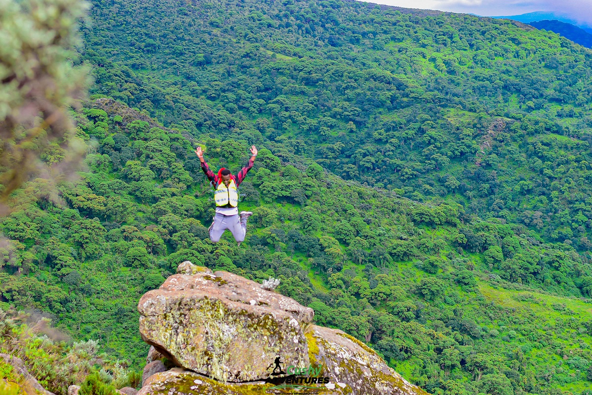
The final push to the summit at 3,860m ASL delivers a 360-degree spectacle worth every challenging step. The descent follows the same route, completing approximately 15-18km of hiking through diverse ecosystems, from dense hargenia forest to the otherworldly moorland terrain. Weather conditions change rapidly—expect cold winds, potential hail, and dramatic temperature drops as you gain altitude, making proper gear essential.
This hike is not for beginners; it demands previous high-altitude hiking experience, excellent physical fitness, and strong mental preparation. The rewards include unmatched scenic beauty, personal achievement, and the privilege of experiencing one of Kenya's most pristine moorland ecosystems.
Trail Grade
Steep rocky paths, narrow single-file trails, bogs, swampy sections, moorland terrain (can be muddy and slippery when wet)